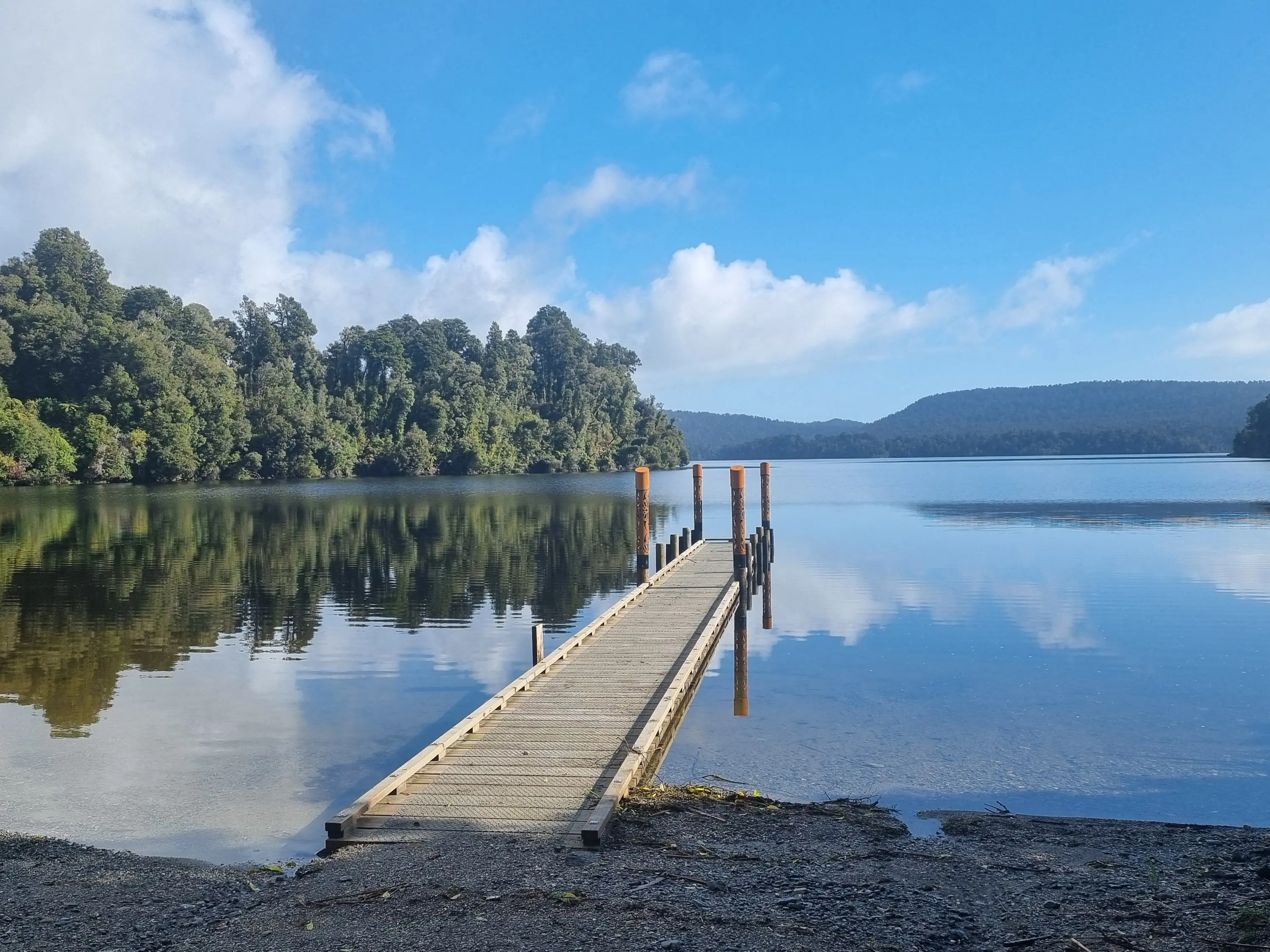
PHOTO
Council and iwi leaders agonising over the West Coast "One Plan" have tackled what planners describe as its most complicated and emotive chapter — the one on natural hazards.
The Tai o Poutini Plan (TTPP) committee is in the throes of a five-day meeting to decide whether to accept the recommendations of independent commissioners, who heard public submissions on the document.
If adopted, the TTPP, which has been five years in the making and cost ratepayers nearly $8million, will set new planning rules for all three district councils on the Coast: Westland, Grey and Buller.
The hazards chapter of the TTPP, which maps areas prone to flooding, coastal storm surges, landslips, earthquakes and other risks, was also the one that had stirred up the most feeling in the community, senior planner Lois Easton told the meeting this week.
"We had a lot of community members and landowners concerned about the impact of hazard identifications on their property values and their ability to insure," she said.
But the main submitter urging councils to take a tougher approach to risk had been the Natural Hazards Commission (formerly the EQC).
"They are in many ways the country’s largest insurer ... but they don’t rely on what councils have done," Ms Easton said.
Insurance companies were now doing their own assessments of natural hazards, she said.
"So the arguments from submitters saying if you put a hazard overlay on our property it’s going to devalue it, actually the purpose is to stop people putting things in places where they won’t be able to get insurance."
People should remember the plan rules applied only to new builds and additions in hazard areas, not to existing structures, she said.
"But it is a very emotional topic for people, because [their home] is their biggest investment."
Public protest erupted in the midst of the plan process when the hazard maps changed after submissions closed, as new lidar survey data became available.
But the end result was worth it in the view of committee chairman Rex Williams.
"The original hazards work [for the TTPP] was done in the Covid era; it was hard to access consultants ... and information. It’s fortuitous that the hearings panel has come along with a helicopter view of the whole thing and almost started again."
The panel has made some fundamental changes to the hazards chapter.
Overlays (maps) showing "flood susceptibility" have been removed where there is no scientific data to back them.
Those areas include Haast, Inangahua, Karamea, Ngakawau, Waimangaroa, Mokihinui, the Nile River and, surprisingly for some councillors, the Waiho (Waiau) and Tatare Rivers at Franz Josef.
"It undermines the credibility of the plan if we have big fat pen marks that aren’t well justified, and it’s unnecessarily punitive on landowners," Ms Easton said.
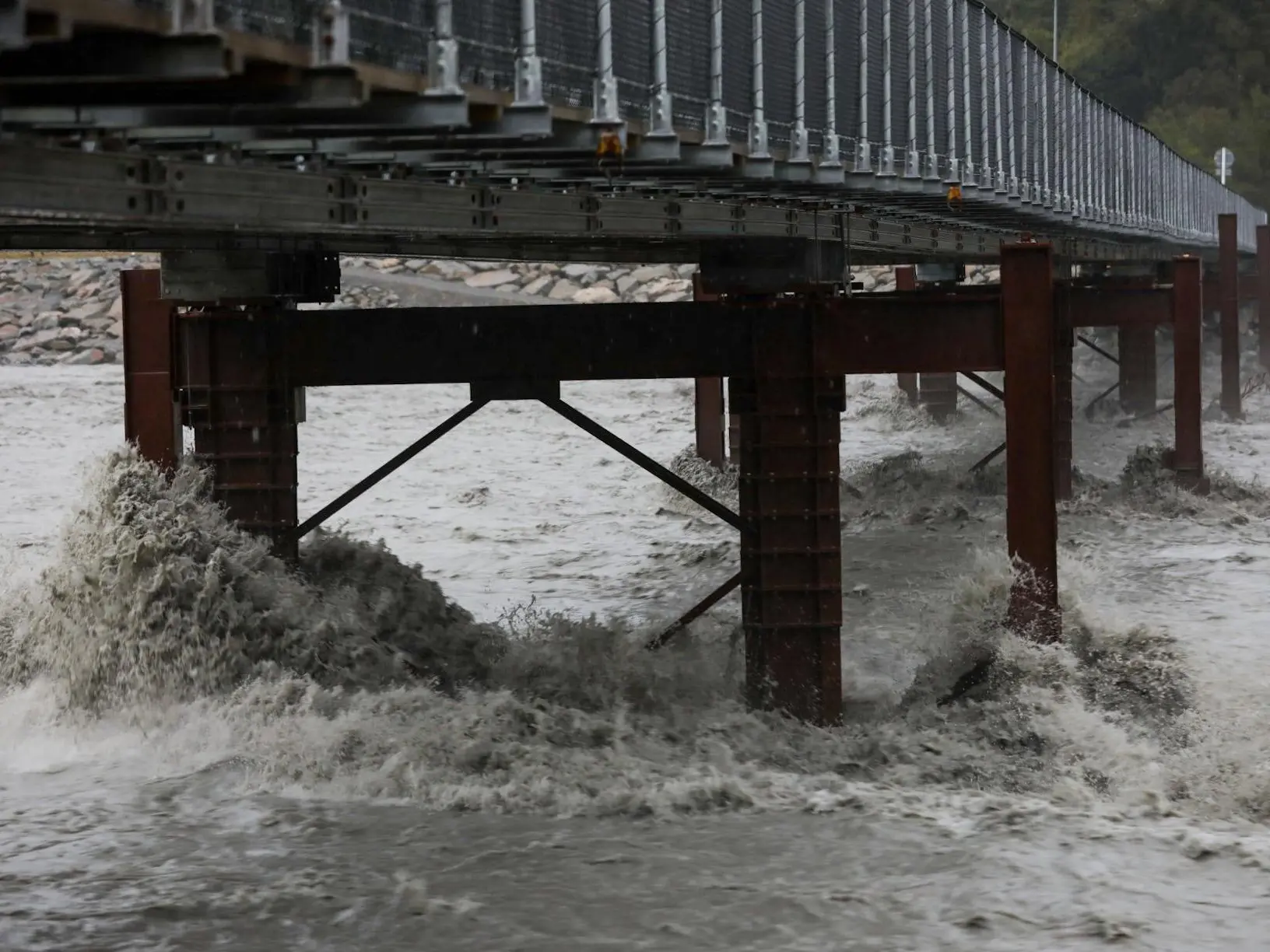
In the case of the Waiho (Waiau) River at Franz Josef, it was difficult to model the river because it changed so fast, but removing the overlay did not mean there was no hazard, she said.
The map shows a yellow "severe flood hazard" area surrounding the town and the Tatare Stream, which is being pushed back towards Franz Josef by the Waiho.
But a blue "flood susceptibility" area including the township, has been removed by the panel.
Westland Mayor Helen Lash said the recommended change was bizarre.
"A lot of that land to the north is very high compared to the river but if [the Waiho] breaches on the northern side above the bridges, it’s going to come down through the town."
Ms Easton said the map was based on known concerns.
"There was real concern we didn’t have robust hazard science ... but I’m concerned that removing the [blue] overlay does create risk that development could be threatened."
The meeting ends today, when the TTPP committee must decide if it accepts the new plan for the Coast.
• LDR is local body journalism co-funded by RNZ and NZ On Air.
By Lois Williams