Meteorologist Lewis Ferris said last week’s rain could be "very important".
"The ... fortnight [ending January 26] is signalled to be drier than average and current models are picking up high pressure to be more prevalent in the south for February, which will likely mean less than average rainfall, too."
Some parts of Southland already had dry soil moisture.
"So [last] week could prove very important for getting rain to those dry places as people shouldn’t count on average rain through the second half of January and the month of February — especially with temperatures being on the warmer side than average," he said.
There had been a weak La Nina event in the past two months but the forecast expected it would return to normal in February.
"Current models have February looking pretty typical La Nina — low pressure systems in the north and Tasman Sea, high pressure draped across the South Island.
"This means we’ll be keeping an eye on tropical developments coming our way."
It was unlikely any tropical events would pose any threat to Southland.
"[It’s] always good to be aware of them, though."
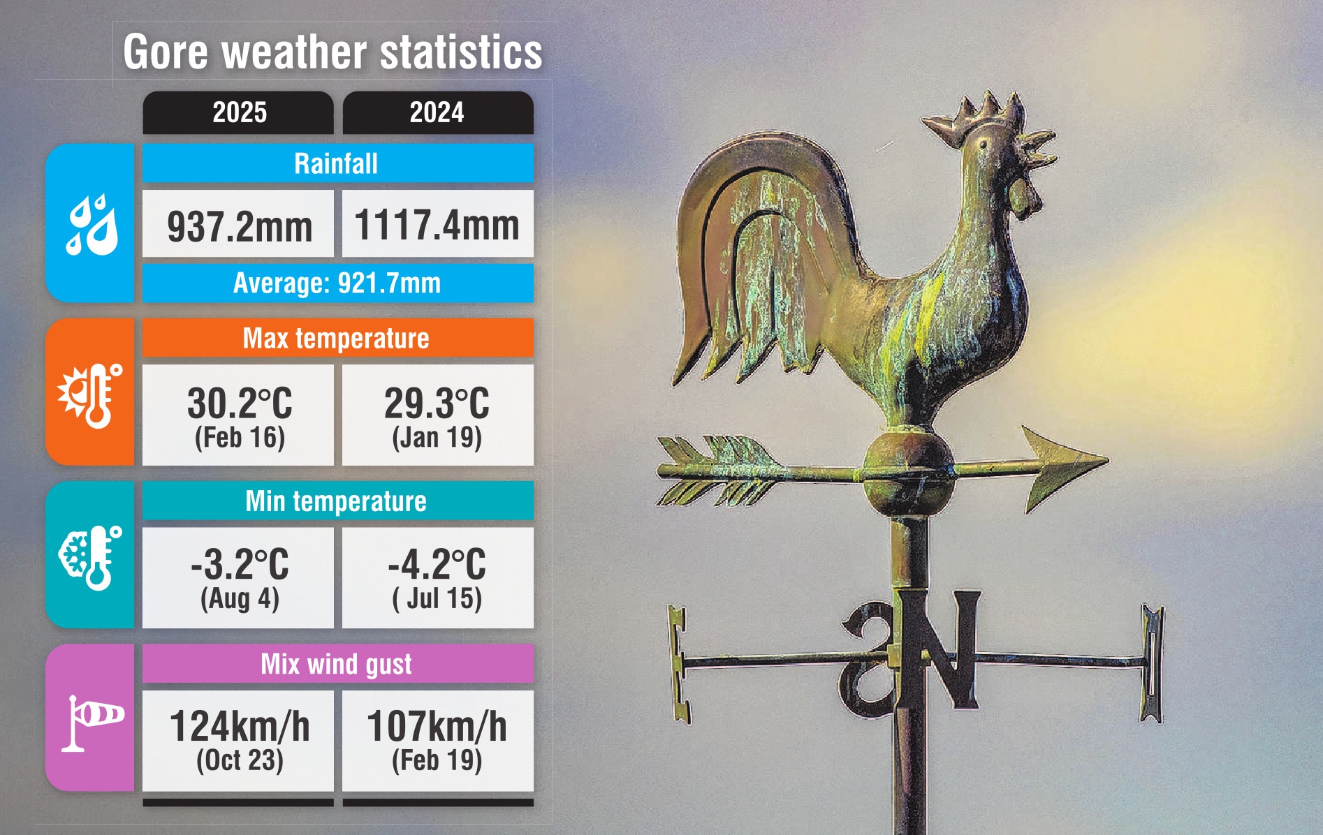
From statistics dating back to 1939, July was the fifth driest July on record at the Invercargill Airport station and September was the fourth wettest September.


