
PHOTO
Southern residents are being urged to batten down the hatches as a “significant winter storm” bears down on the South Island, bringing prolonged heavy rain and heavy snow.
MetService meteorologist Alwyn Bakker said a complex low and frontal system would come in from the Tasman Sea, then become slow moving over the South Island on Wednesday, bringing heavy rain which was expected to turn to heavy snow about inland parts of Otago and South Canterbury — lasting until Friday.
The agency on Tuesday night updated a heavy snow watch for the Canterbury high country and Central Otago north of Arrowtown, reducing it from 39 hours to 33, from midnight on Wednesday to 9am on Friday.
A heavy rain warning is in place for the Westland ranges and heavy rain watches have been issued for Fiordland, and the headwaters of Otago and Canterbury lakes and rivers.
“This is going to be a significant winter storm,” Bakker said.
“There’s going to be some rain making its way over from the Southern Alps, and it’s going to be pretty wet Wednesday, Thursday and possibly Friday — it depends exactly where this feature is going to be moving to.”
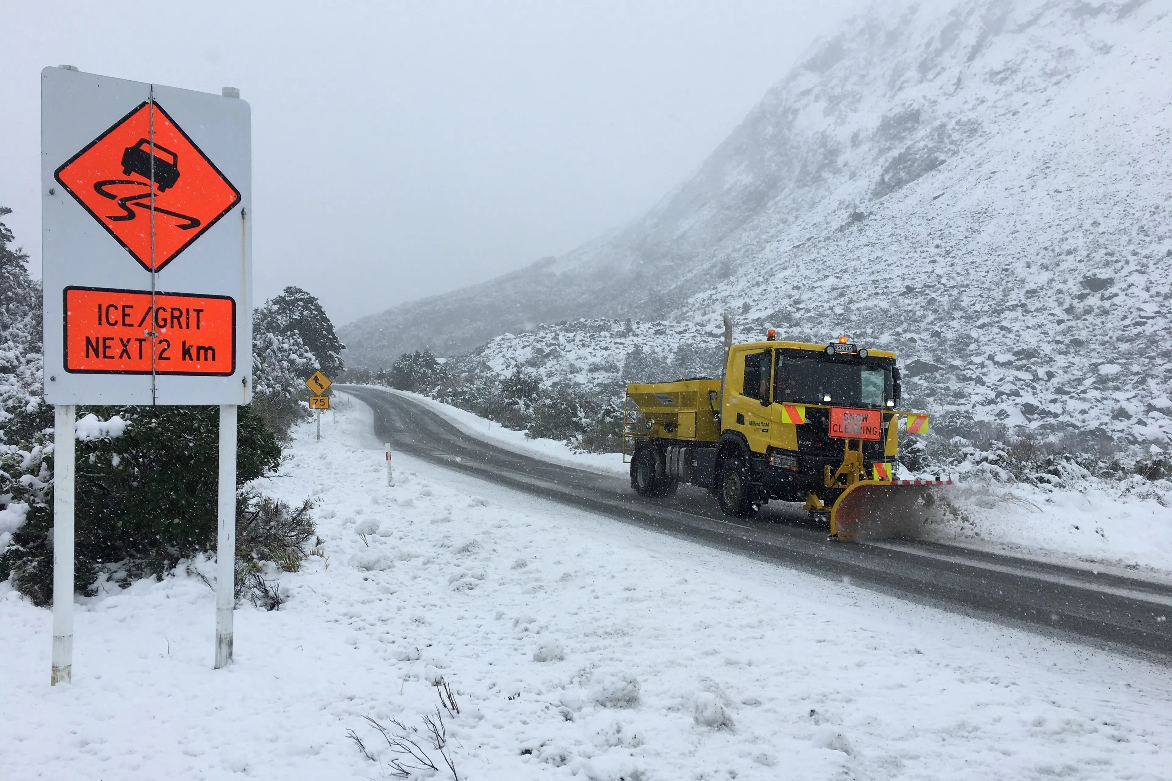
On Tuesday afternoon NZ Transport Agency Waka Kotahi advised the Milford Road (State Highway 94) had closed until Thursday, owing to the forecast snow and increased avalanche risk.
Bakker said the upside of the weather feature was that it would be “a little warmer” than usual.
“But it’s a bit of a weak upside. It’s probably safer to say it’s going to be only moderately cold, as opposed to freezing cold.”
He said snow would start falling in inland Otago and South Canterbury on Wednesday night, and it was possible it could fall to warning levels.
“That’s when you get a little bit more than a dusting.
“It’s when there’s going to be some kind of impact, whether it’s going to be difficult to get out to livestock, or maybe roads get closed — that kind of stuff.
“So, there’s a possibility it could reach that level around the Central Otago, Queenstown Lakes district, and up to the Mackenzie Basin.”
He said heavy snow would fall to about 700m on Wednesday and lower to 400m on Thursday, which was when it would start causing disruptions on higher roads around the region.
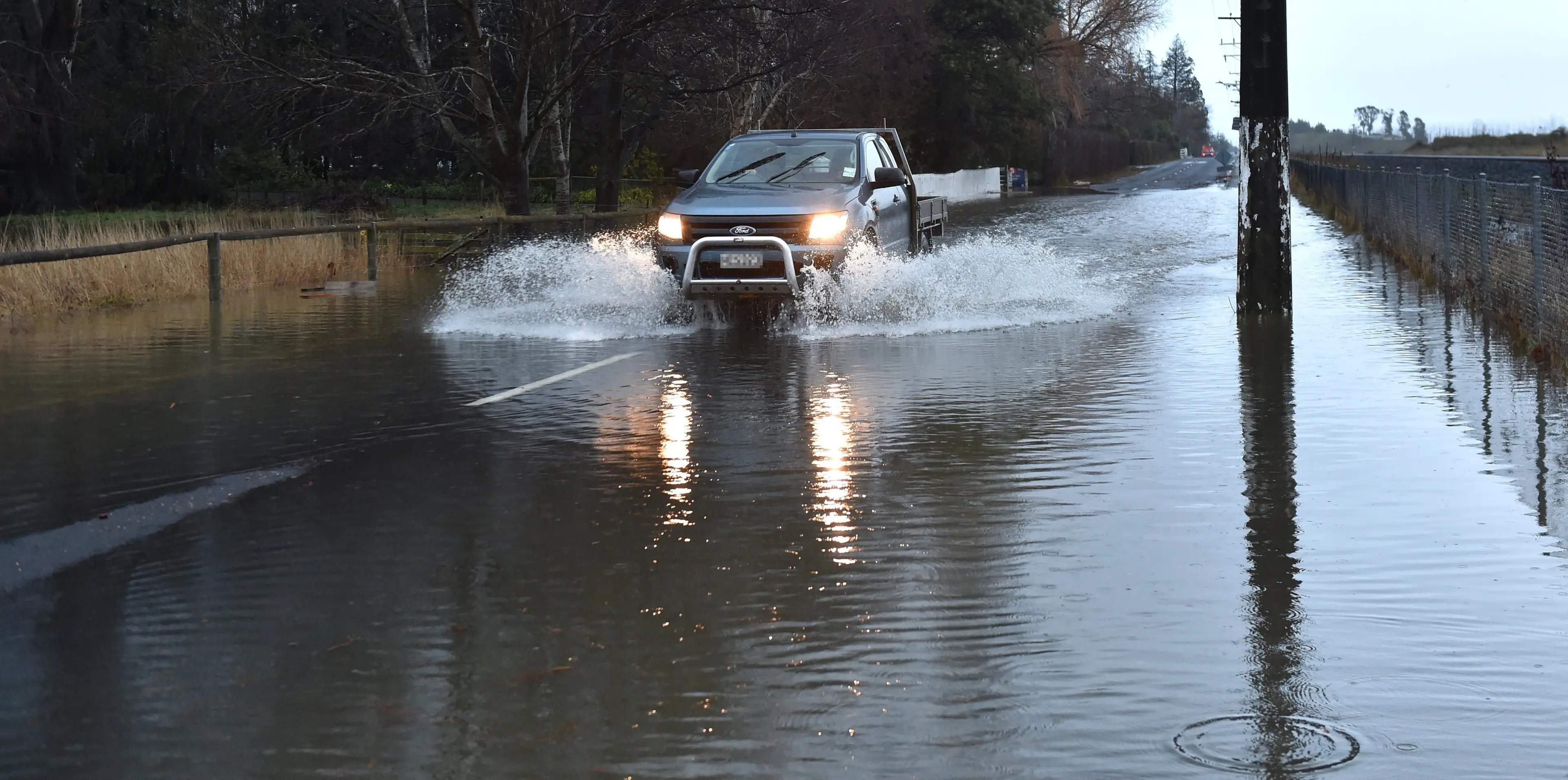
The weather feature would move slowly up the South Island on Wednesday, but then on Thursday, it would track down the South Island and hit Otago again, potentially bringing surface flooding to many areas, including Dunedin, he said.
“At this stage, the main impacts for Dunedin are looking like they’ll be on Thursday.
“There’ll be rain before then, but at this stage, it’s looking like Thursday is going to be the worst of it.
“I’d say keep an eye on the severe weather outlook, just to see how the forecast is changing as we get closer, because it is still a little way out and the exact impacts are still unclear.”
An NZTA spokesman said more than 30cm of snow could affect State Highways 8 and 80, in the Mackenzie Basin and South Canterbury on Thursday, while further north up to 20cm could fall on State Highway 73 above 700m elevation between Christchurch and the West Coast.
“Accumulations at this level are likely to impede travel and NZTA may close sections of highway or introduce restrictions to keep people safe and avoid vehicles becoming trapped.
“Roading crews will be out around the clock clearing snow or other obstructions and making the highways as safe as possible.”
Mr Bakker said the storm was expected to weaken on Friday, as it moved on to the North Island.
john.lewis@odt.co.nz