
PHOTO
Sunday morning will be ideal for a long sleep-in, as another polar blast brings snow to Dunedin tonight.
MetService meteorologist Ethan Walton-Jones said a front would come through on Saturday afternoon, driven by a strong southwesterly change which would cause temperatures to plummet.
"It's bringing up a lot of cold air from down in the Antarctic region.
"We're expecting to get snow as low as 400 metres, but at this stage we're not expecting anything to get down to sea level."
At this stage, the snow was not likely to accumulate in the city, but he said that might still be "subject to change".
He urged Dunedin residents to keep up to date with the weather conditions, especially if they planned to be out and about in the city tonight.
He said snow flurries could start to fall later this afternoon and could continue overnight.
At present, there is already widespread snowfall around Otago and Southland.
‘Potentially hazardous’ snowfalls
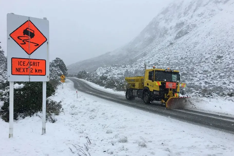
Further afield, motorists are being warned of “potentially hazardous” snowfalls through the central South Island.
NZ Transport Agency Waka Kotahi said snow was likely on the alpine passes from Saturday afternoon.
MetService forecaster Gerard Bellam told RNZ a front was passing over the South Island on Saturday, with snow falling to 400m in Southland and Otago and 500m for the Canterbury region.
MetService has the following road snow warnings in place, with the biggest impact expected to be inland Canterbury on State Highways 73 and 7:
- Lewis Pass (State Highway 7) – up to 5cm accumulating down to 400m elevation, from 9pm Saturday, and light snow or sleety showers into Sunday.
- Arthur’s Pass (State Highway 73) – up to 5cm about the summit from 6pm Saturday.
- Porters Pass (State Highway 73) – up to 15cm accumulating about the summit from 6pm Saturday, and light snow showers through to Sunday evening.
- Lindis Pass (State Highway 8) – up to 2cm accumulating at times above 800m from noon Saturday.
- Crown Range Road – 1cm may accumulate at times above 800m through today.
An NZTA spokesman said the snowfalls were “potentially hazardous”, and the agency would be monitoring the highways and would be ready to clear snow from the roads, and to close or restrict travel where necessary.
He said that following the snow, icy conditions were expected in many places from tomorrow as freezing conditions persist.
“People are urged to take extra care, especially driving in sheltered areas and when travelling late at night or early mornings when ice is most likely to form.”
— additional reporting ODT Online