
PHOTO
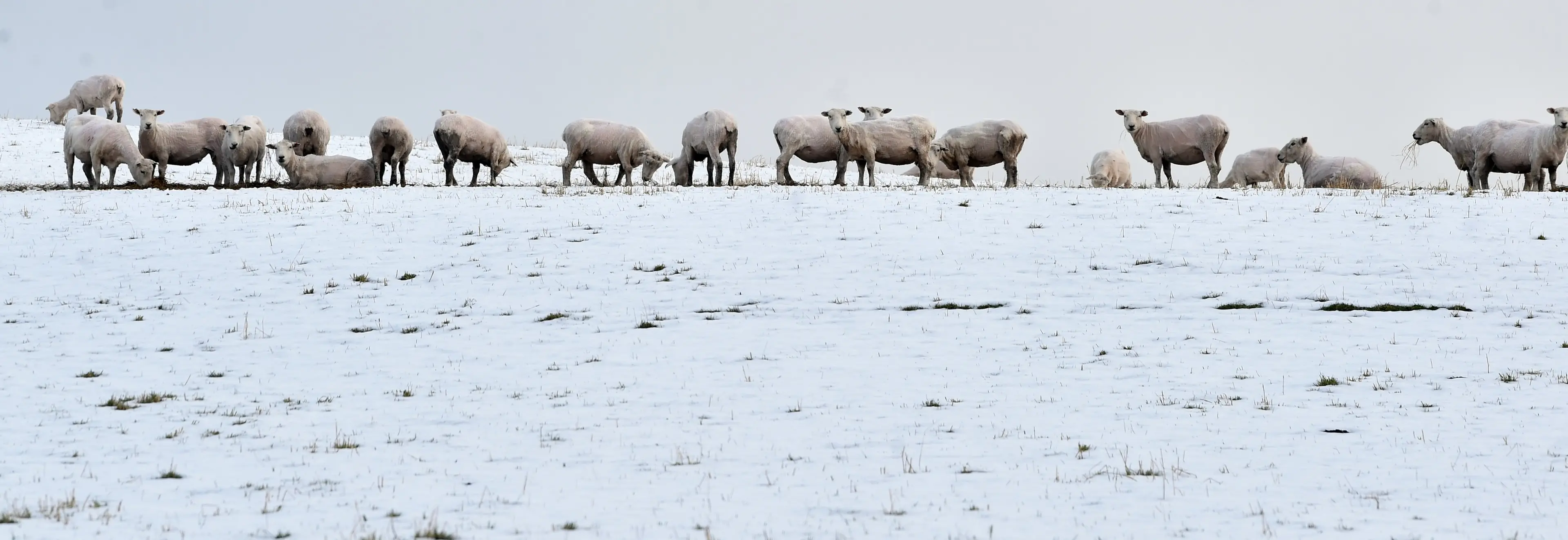
Single-digit highs and temperatures dropping as low as -7˚C will bite, while widespread snow could fall to low levels over much of Southland and inland Otago this weekend.
MetService meteorologist John Law said snow was expected to start falling late tomorrow night around the southern regions, and would continue in Southland and Central Otago until late Saturday morning.
“I think there will be a chance of perhaps some pretty low levels of snow, particularly in those central parts of Otago, overnight Friday, in towards Saturday.”
MetService on Thursday issued a road snowfall warning for the Crown Range Road, forecasting up to 4cm of snow to accumulate above 600 metres, with lesser amounts lower down from 8pm on Friday until 6am on Saturday.
Heavy snow was expected for the Milford Road (State Highway 94) from late on Friday morning until the early hours of Saturday.
Up to 15cm of snow may fall on SH94 above 800m from Friday morning, while 5 to 10cm was expected down to 400 metres from the evening.
Mr Law said northwesterlies would bring warmer temperatures to Dunedin today, which is forecast to reach 15˚C.
But it would also bring rain, which was expected to spread across the southern regions tomorrow.
Later in the day, those winds would turn southwesterly, bringing very cold air up from the Southern Ocean, which would likely turn the rain to snow.
“You need a few things for snow. You need the moisture, but you also need those cold temperatures, and I think Friday night is our best chance for both of those as they run through.”
Mr Law said the snow would miss Dunedin and Oamaru, but Balclutha and the rest of South Otago could see a lot of snow.
“I think snow to low levels will be a bigger risk for those more inland areas.
“And because the temperatures are so cold, I think the snow will probably settle.
“I wouldn’t be surprised to see some of those higher roads have some issues with some snowfall through there.”
He said Saturday night into Sunday morning was expected to be “extremely cold”, temperatures well below zero bringing frost and black ice to roads across Otago and Southland.
“I think the real issue will be, any moisture that comes through and then hits a cold road, will freeze.
“It will definitely be worth taking extra care, particularly for that first part of the morning on Friday, Saturday and Sunday.
“Sunday morning — it will be really cold, really frosty.
“If you plan to head out and about in the early hours of the morning, just be aware that there will be these pockets of frost, especially in shady areas.
“So, it will be important to take extra time and extra care on the roads over the next few days.”
Despite the frigid forecast, organisers of the New Zealand and Australian defence forces say Exercise Tauwharenīkau would still go ahead around Gore.
“It’s important to train in all-weather situations.”
A ridge of high pressure was expected to build later on Sunday, and Mr Law said the weather would warm up to “double digits” again for the start of next week.
Snow for inland Canterbury
Meanwhile, forecasts supplied to the NZ Transport Agency Waka Kotahi (NZTA) suggested snow was expected to fall on SH8 and 80 in the Mackenzie Basin, and further north in alpine areas on State Highways 7 and 73. Accumulations could reach 5+cm for high parts of Porters Pass.
MetService says Aoraki-Mount Cook is forecast to reach a low of -11°C on Saturday, while daytime highs are expected to remain between 5°C and 7°C in Twizel.
As the snow gives way to severe frosts from Sunday, ice was expected to pose a serious risk to road users in many areas, especially inland and in sheltered areas,, a spokesman for NZTA said.
State Highways 1, 7, 73, 75 and 77 are likely to be affected through to the start of next week, while SH 8 and 80 were also likely to have icy road surfaces, in addition to freezing fog in patches for the Mackenzie Basin.
Road users were encouraged to check the latest weather reports, and the status of the state highways at the NZTA’s Journey Planner site, before setting out for their travel.
john.lewis@odt.co.nz